About
Zest Data Group is a small geospatial consultancy. Our goal is to work with your project team across the full range of your endeavor. We can help clarify the vision and scope of your project, and we excel at generating methods and visual outputs that tell the story. We believe that adaptation and communication are the most valuable tools in bringing the vision of the team to life.
Today, Zest Data Group is largely one person. Yet the name is plural on purpose. Good groups lead to better projects, so whenever possible Zest Data Group seeks active collaborators for their independent insight and unique contribution.
How we work
- Reproducible by default. Shared data access, version control, and full end-to-end workflows.
- Honest about where things stand. Progress, problems, and the reasons for a design choice get said out loud in the meeting, not discovered later.
- A committed member of your team. Our partners are the experts in their fields. We respect and value that expertise by building their vision into the work and responding to it as it evolves.
- Science is a progress report. As you learn more, your perspective changes, and we adapt.
A successful project is one where the partner has a web-accessible means of evaluating the work they helped design through rounds of feedback. The data meets them in the format they find most useful, and the project lives in a place where it can be updated over time.
Who we are
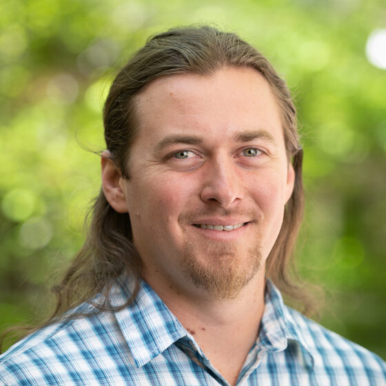
Dan Carver
After 300 nights in the field over five years, Dan left his outdoor recreation jobs behind to pursue a master's degree in geography at the University of Colorado Denver. After graduating, an internship with NASA DEVELOP turned into a job that set the stage for a career in Fort Collins, Colorado. Since then Dan has used his skills in facilitation, public speaking, and programming to bring spatial data analysis methods to a wide variety of project teams. He currently contributes to the Geospatial Centroid at Colorado State University in addition to his role at Zest Data Group.
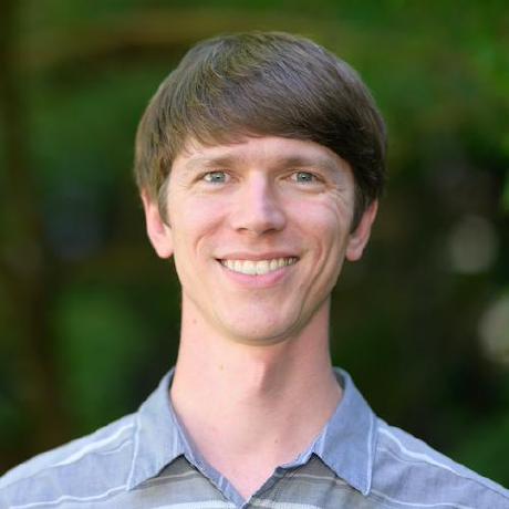
Ian Hellman
Ian is an FAA-certified drone pilot who teaches the FAA pilot certification courses. He brings extensive experience in aerial imagery processing and in managing watershed science field teams, and has developed and maintained compute systems to process and securely back up terabytes of imagery.
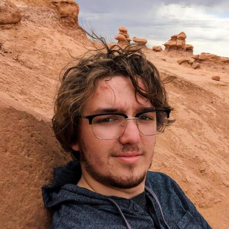
Gavin Hawkes
Gavin has brought his understanding of computer science to a few important geospatial questions, like how road design and roadside signs can be used to predict traffic incidents. He is currently contributing to Zest Data Group as the primary developer of a QGIS plugin that simplifies the generation of training and validation datasets for remote sensing classification projects.
Working with us
We do our best work on scoped projects with room to iterate. Our tools are R (terra, sf, targets, Shiny), Google Earth Engine, Python, and Git, chosen to fit the data and the team that will maintain the result. We have our own data storage, compute, and hosting infrastructure that we can deploy to your project.
Work starts with a short call, then a written proposal with deliverables and a timeline. From the first week the code lives in a shared repository, so you own everything as it is made.