Fast and fresh data analysis.
A geospatial consultancy focused on supporting plant conservation efforts.
We build analyses, applications, and open source tools that bring even more value to your hard-earned field data.
What we do
Spatial data analysis
Species distribution models, conservation gap analysis, raster classification workflows, and statistical evaluations.
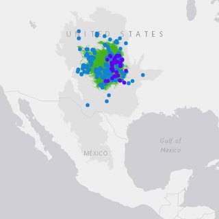 Crop wild relatives of the United States
Species distribution modeling and conservation gap analysis for all of the United States crop wild relatives.
Crop wild relatives of the United States
Species distribution modeling and conservation gap analysis for all of the United States crop wild relatives.
Web application development
Shiny applications that let non-technical teams map their own data.
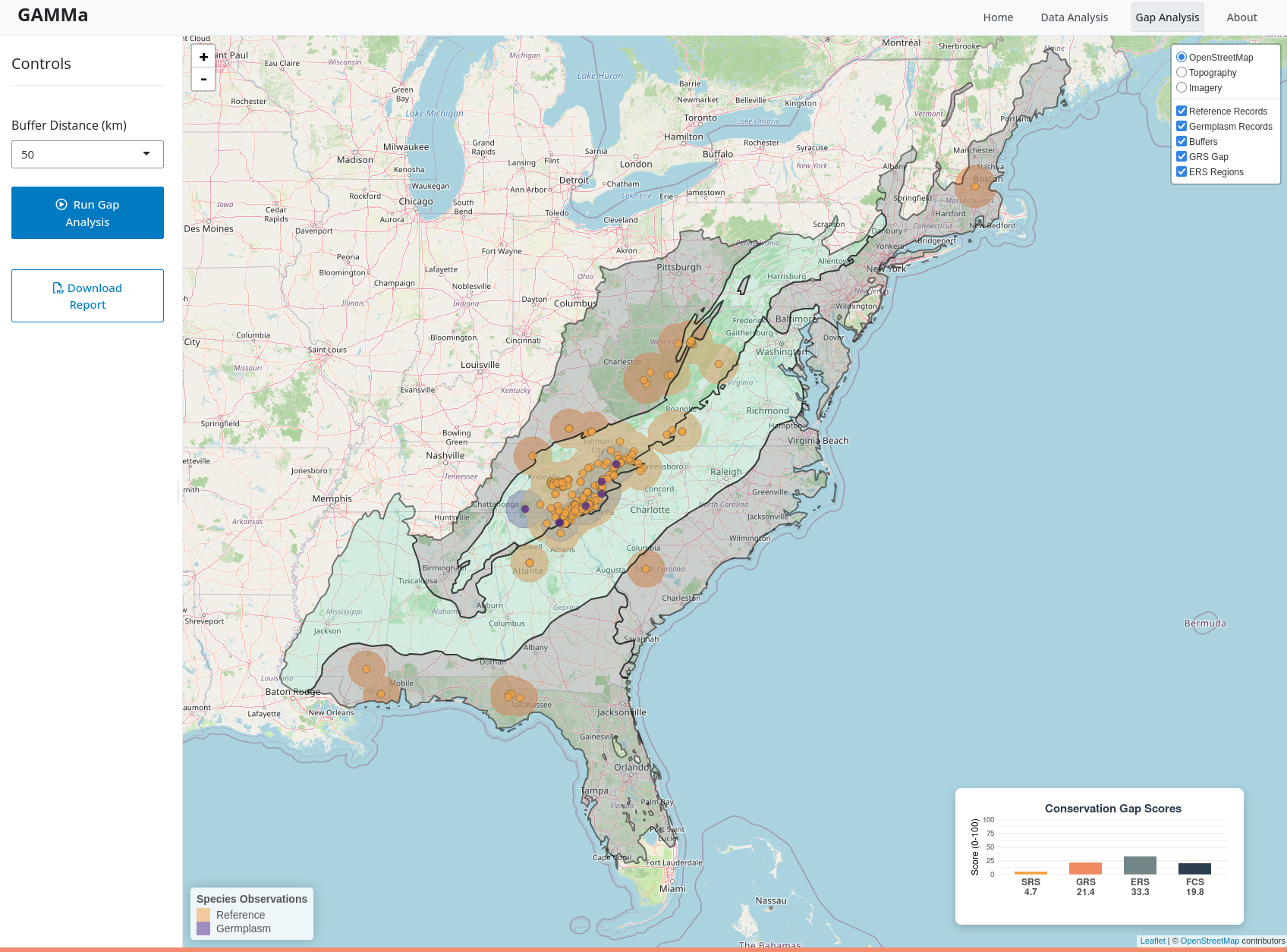 GAMMa
A web application that allows users to view the extent of their own collection against the data available on GBIF.
GAMMa
A web application that allows users to view the extent of their own collection against the data available on GBIF.
Open source library development
Turn research methods into documented and tested tools available to everyone.
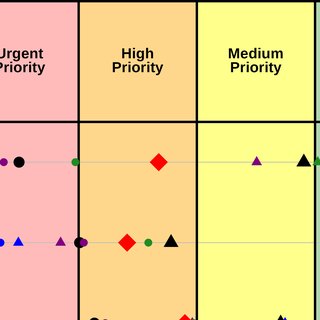 GapAnalysis R
An R package that scores how well a species is conserved, ex situ and in situ, from occurrence records and a distribution model.
GapAnalysis R
An R package that scores how well a species is conserved, ex situ and in situ, from occurrence records and a distribution model.
Grounded in the research
Our methods come out of peer-reviewed work on crop wild relatives, species distribution modeling, and conservation gap analysis.
- 19
- peer-reviewed papers
- 577
- citations
- 13
- h-index
Selected publications → Google Scholar, September 2026