
GapAnalysis R
An R package that scores how well a species is conserved, ex situ and in situ, from occurrence records and a distribution model.
- R
- terra
- sf
- CRAN
The problem
Conservation gap analysis asks a simple question: how much of a species' diversity is already safeguarded, in genebanks and botanic gardens (ex situ) and in protected areas (in situ), and where are the gaps? The method had been applied to hundreds of crop wild relatives, but the code lived in project scripts. Every new study re-implemented it, and results were hard to compare or reproduce.
What GapAnalysis does
The package turns that method into a documented, tested R library. Given occurrence records, a modeled distribution, an ecoregion layer, and a protected-area layer, it computes three scores for each conservation strategy:
- Sampling representativeness — how many occurrences are backed by a conserved accession.
- Geographic representativeness — how much of the modeled range falls within buffers around conserved samples, or inside protected areas.
- Ecological representativeness — how many of the ecoregions the species occupies are represented in collections or protected areas.
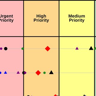
The three combine into a final conservation score, ex situ and in situ, and a combined score with a priority category. Maps of the gaps come out alongside the numbers, so a score points at places to collect or protect.
Why it matters
The package is the shared foundation for the work that followed: the crop wild relatives assessment applied it across taxa, and GAMMa wraps the same scoring in a web application for collections managers. Publishing the method as a package means a result from any of those studies can be re-run, and the method can be applied by anyone with occurrence data.
Publication
Carver, D., Sosa, C.C., Khoury, C.K., Achicanoy, H.A., Diaz, M.V., Sotelo, S., Castañeda-Álvarez, N.P., & Ramírez-Villegas, J. (2021). GapAnalysis: an R package to calculate conservation indicators using spatial information. Ecography, 44(7), 1000–1009. doi:10.1111/ecog.05430